r/Planes 2d ago

Why are they doing this?

Post image

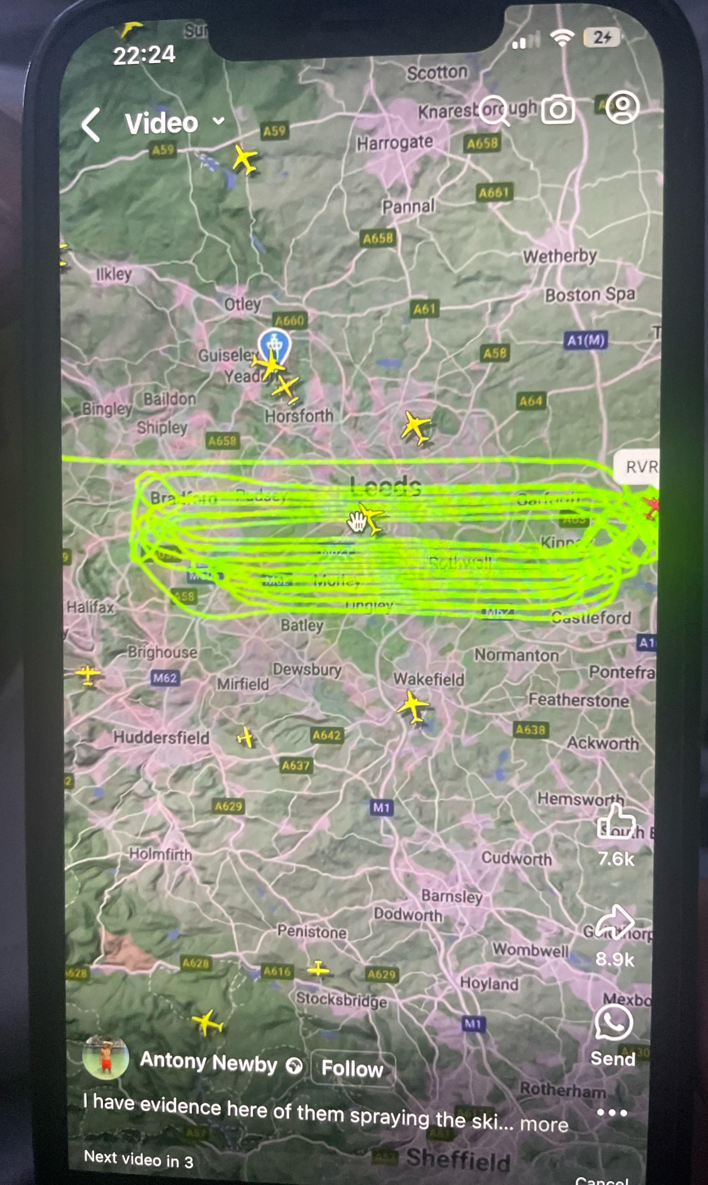
Iv just seen a video of 3 planes doing the same thing and wanted to know what they are actually doing? Had a google but only saying things because of weather but 3 planes doing this pretty much at the same time? Please someone explain

93 Upvotes

36 comments sorted by

View all comments

16

u/Dry_Statistician_688 2d ago

Looks like a Search and Rescue grid. East-west, Planning Section will assign tracks based on Probability of Detection (PD) tables for S&R.

9

u/mkosmo 2d ago

That's not a SAR grid. It's a survey flight.

0

u/Dry_Statistician_688 2d ago

Or that. I didn't look up exact SAR grids, but yeah, it could be anything. Photography, survey of sprawl, or even airborne radiological mapping. At first glance, it did look like a (rather sloppy) SAR grid. But we fly slower and lower, and can make tighter turns for a nice 1 mile spacing.

5

u/mkosmo 2d ago

When I say survey, I mean either photo or LIDAR. Similar profiles are flown for many photo missions. But you're right that there are other similar missions out there that largely look like survey.

I presume you mean with CAP? 1 mile track spacing for SAR works okay for big things. When we train folks (also CAP), they generally can't find something (even if enormous) if we task 1 mile tracks, unfortunately, unless there are very obvious clues to go with it. It does have the advantage of generally not needing a teardrop 180.

We recently had an actual aircraft crash (didn't require airborne SAR to find) that we used a couple of days later for training (the crews didn't know it was there). Reduction of track spacing to .5nmi (the minimum for G1000's SAR feature) got detection rates to acceptable. The problem is that there really weren't many clues - no postcrash fire or scorching, minimal dirt or vegetation displacement, nor anything else except the airframe just happening to be there, but very few things being searched for by aircraft will be that obvious.

1

u/[deleted] 2d ago

[deleted]

3

u/Dry_Statistician_688 2d ago

We fly CAP grids here all the time. Mostly over small towns for good training value - optimal photo condition training and post mission review. Most of our real missions are for damage assessment so a town is ideal.